04/27/2024: Trading Clear Skies for Higher Temps

The Latest Storm Tracker Forecast from Meteorologist Kevin Appleby:
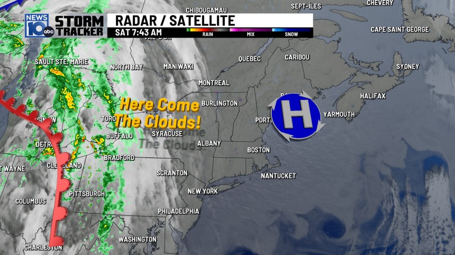
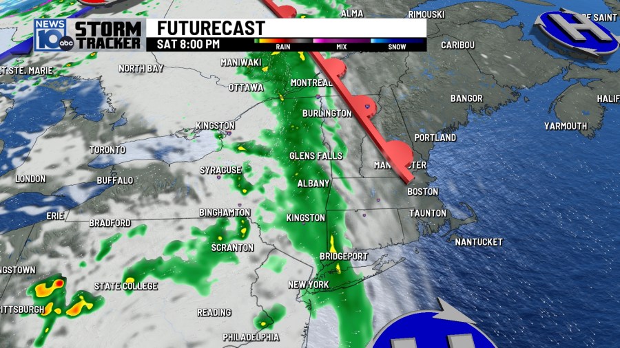
High pressure has slid off to our east this morning. While things are starting off mostly sunny once again, clouds will build into this afternoon ahead of some late afternoon and evening light rain showers. Sunshine won’t be as common over the next week as it was this past week, but temperatures will be consistently warm, with 70s on tap starting Sunday.
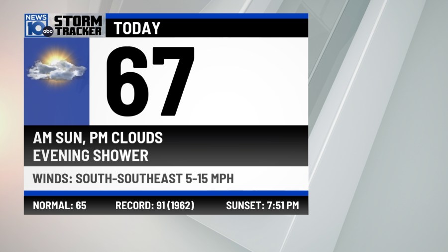
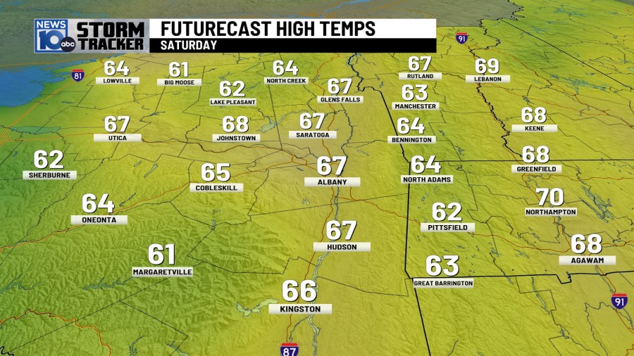
A warm front will be lifting through our region this afternoon, kicking off the first of a series of 7 days with expected above-average temperatures while bringing us clouds and eventually a few showers by this evening. Saturday will feature high temperatures mostly in the low to mid 60s, the coolest of the next 7.
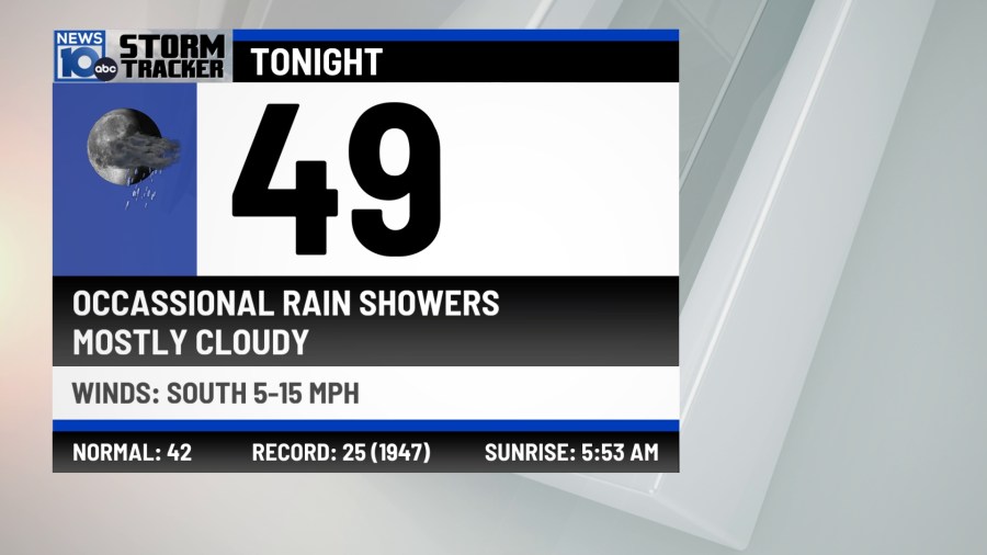
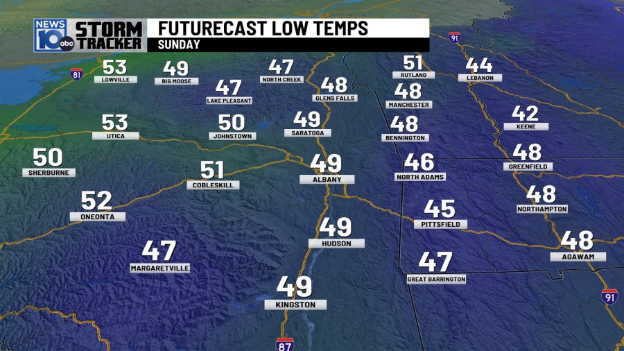
With the clouds and occasional showers overnight, temperatures will be considerably mild than the past three nights or so. It may be a struggle to even drop below 50 degrees by Sunday morning this time around in Albany, a far cry from the 30 degree reading we woke up to Thursday!
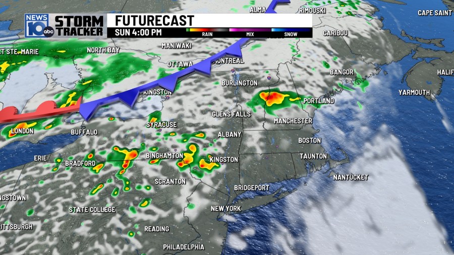
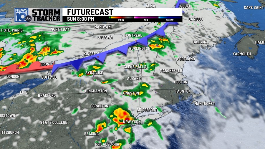
Sunday will feature more dry time than anything, but a few more showers and perhaps a thunderstorm or two are anticipated to develop during the afternoon hours.
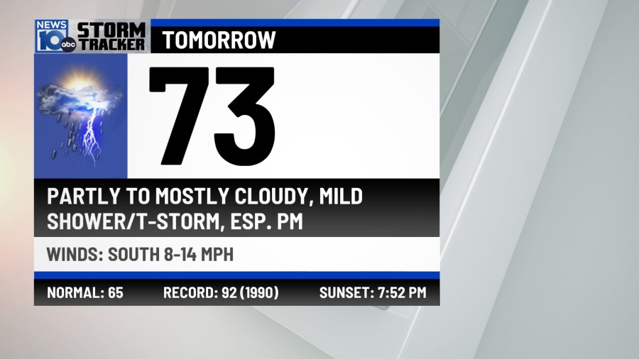
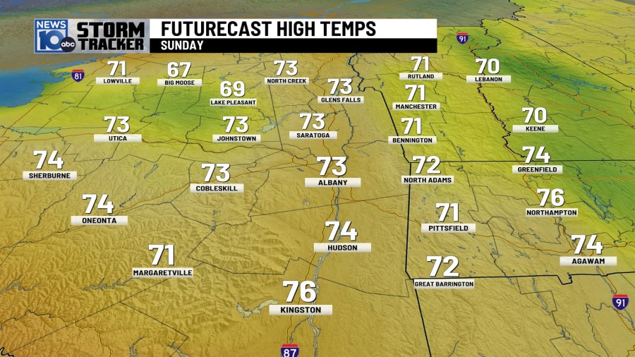
Any sunshine will cause temperatures to quickly rise Sunday afternoon, and we do expect a few peeks of sun into the afternoon. It will be a touch humid as well, with high temperatures generally near or slightly above the 70 degree mark.


Severe weather was common in the Central United States Friday, and another outbreak is expected today in the South Central U.S. This is actually the same parent system that will be brining us our Saturday evening showers. There will not be severe weather locally. A trailing cold front currently in Canada is making for a forecast headache with regards to Monday’s and Tuesday’s high temps.
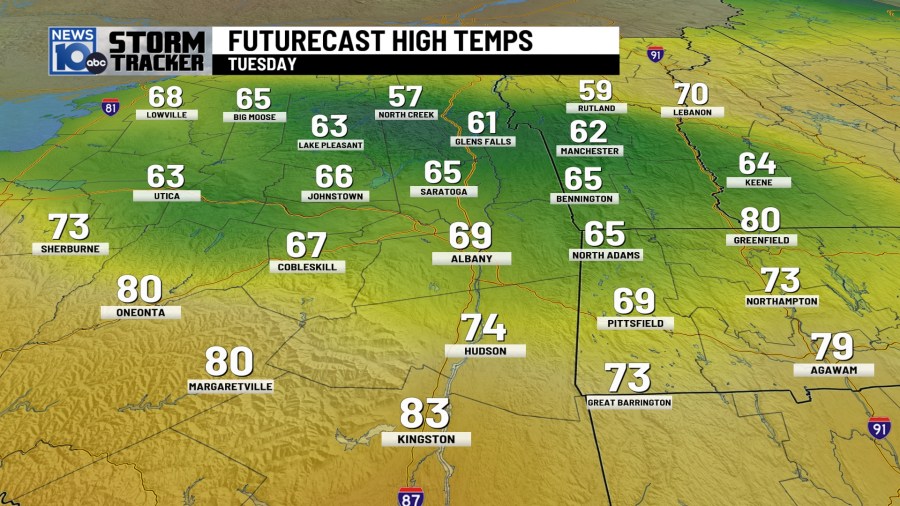
A sharp temperature gradient is expected in the region. Temps could approach 80 down to the southwest, but it may be a struggle to even reach 60 to the north with the boundary essentially draped over our region Monday and Tuesday afternoon. In the above image, I included just one of our numerous computer model’s high temperature output for Tuesday, just to give you an idea of what we are staring down for the beginning of the work week. We are leaning a touch milder than this locally, but just know a considerably cooler scenario is very much on the table at this point.

Drier and still warm conditions are on tap for Wednesday and Thursday, with rain showers returning Friday. Tuesday will see an approaching cold front will kick off our best chance this week for more widespread showers and t-storms, particularly during the afternoon hours.


